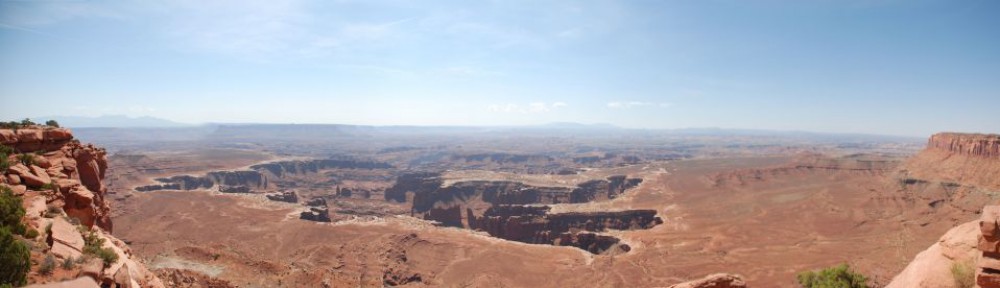
My Western Road Trip of 2006 was a 21 day event which took me from home in Minnesota across the country all the way out to the Pacific coast and back, visiting a number of National ParksMonuments along the way. Following are the maps and summaries of each of the 13 major legs of the trip.
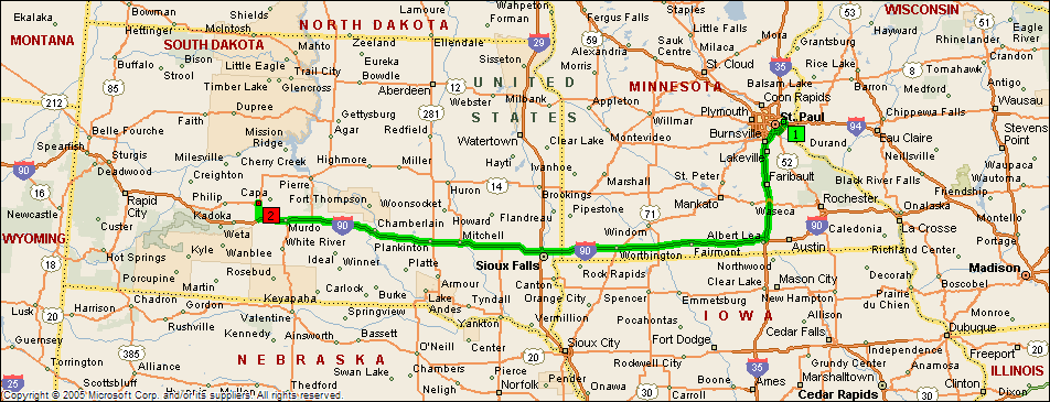
Leg 1: Home to Midland, SD; 517 miles, 7 hours, 24 minutes
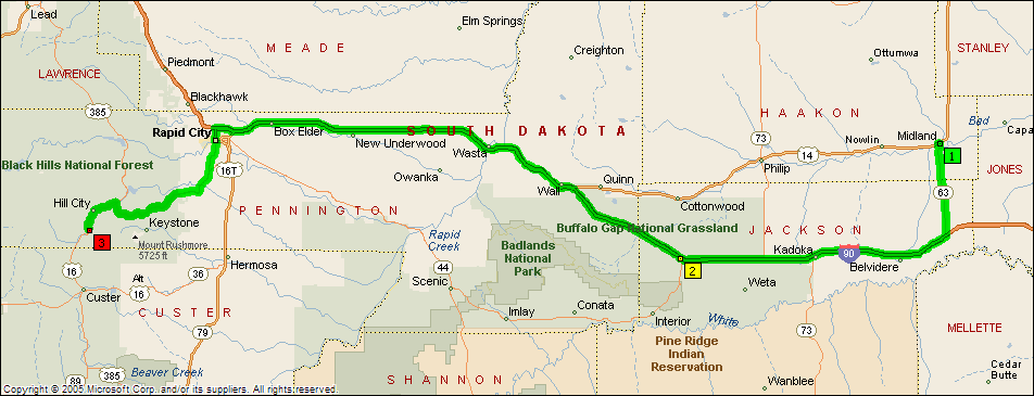
Leg 2: Midland to Mt. Rushmore; 159 miles, 2 hours, 30 minutes
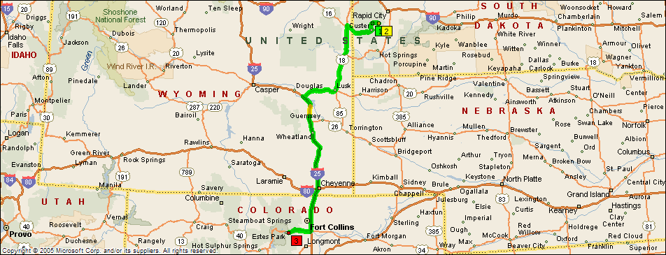
Leg 3: Mt. Rushmore to Estes Park, CO; 387 miles, 7 hours
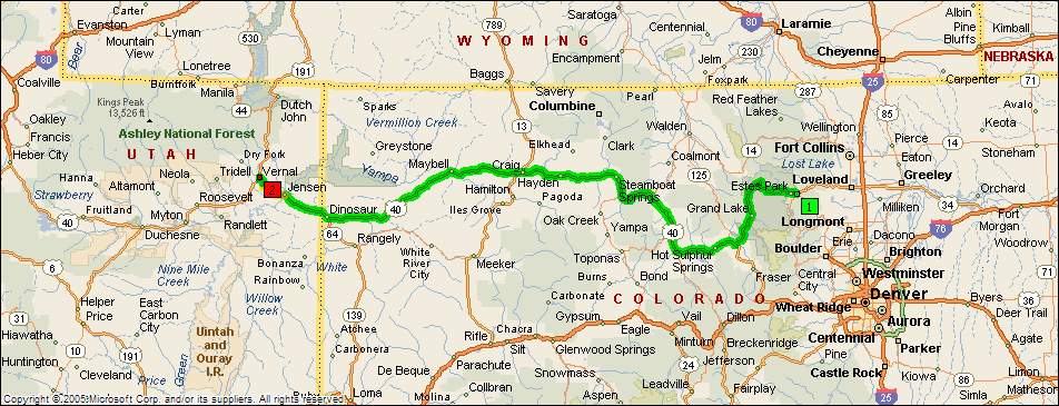
Leg 4: Estes Park, CO to Vernal, UT; 306 miles, 6 hours, 40 minutes
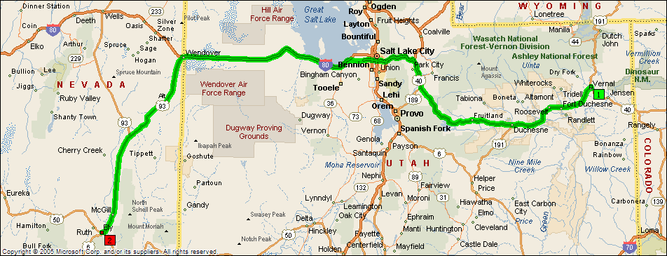
Leg 5: Vernal, UT to Ely, NV; 410 miles, 7 hours, 35 minutes
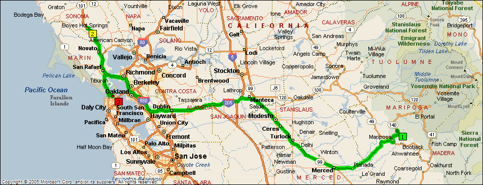
Leg 6: Ely, NV to Yosemite NP; 440 miles, 9 hours

Leg 7: Yosemite to San Francisco, CA; 249 miles, 4 hours
Leg 8: San Francisco to Redwood NP; 270 miles, 5 hours, 30 minutes

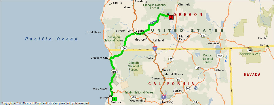
Leg 9: Redwood NP to Crater Lake NP; 260 miles, 4 hours, 45 minutes
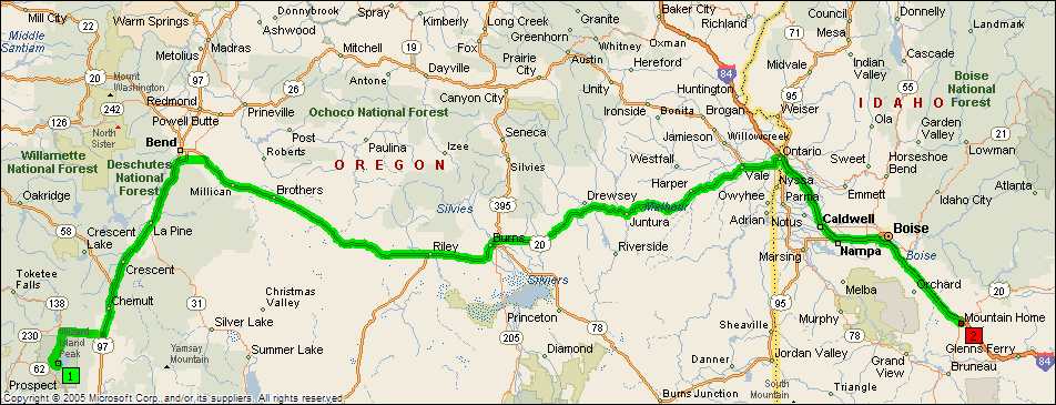
Leg 10: Crater Lake to Boise, ID; 458 miles, 8 hours, 45 minutes
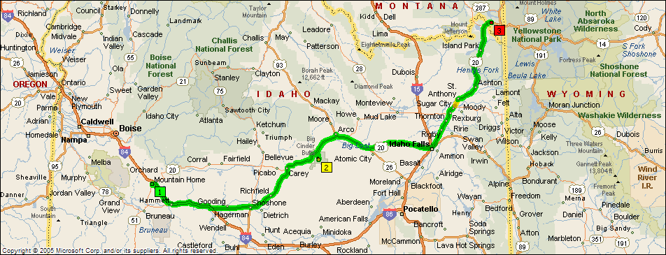
Leg 11: Boise to Craters of the Moon NM to Yellowstone; 337 miles, 6 hours, 30 minutes
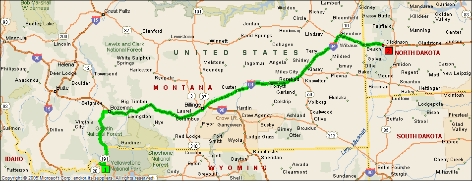
Leg 12: West Yellowstone to Medora, ND; 518 miles, 7 hours 40 minutes
Leg 13: Medora, ND to Home; 572 miles, 8 hours

