The hotel I was in didn’t have breakfast on the weekend or at least Sunday – huh? Whatever, I got going a bit earlier and was out the door about 8:15 headed north on 22 towards NOLA. Stopped for a quick breakfast and was on the road right around 9.
My destination today was Vicksburg, MS. Looking at the normal routes it is about a four to four and a half hour drive. Experience from the past couple of days would have me believe sticking strictly to the Great River Road would likely add 3 hours to the trip. Frankly I’ve seen enough of levees for a few days.
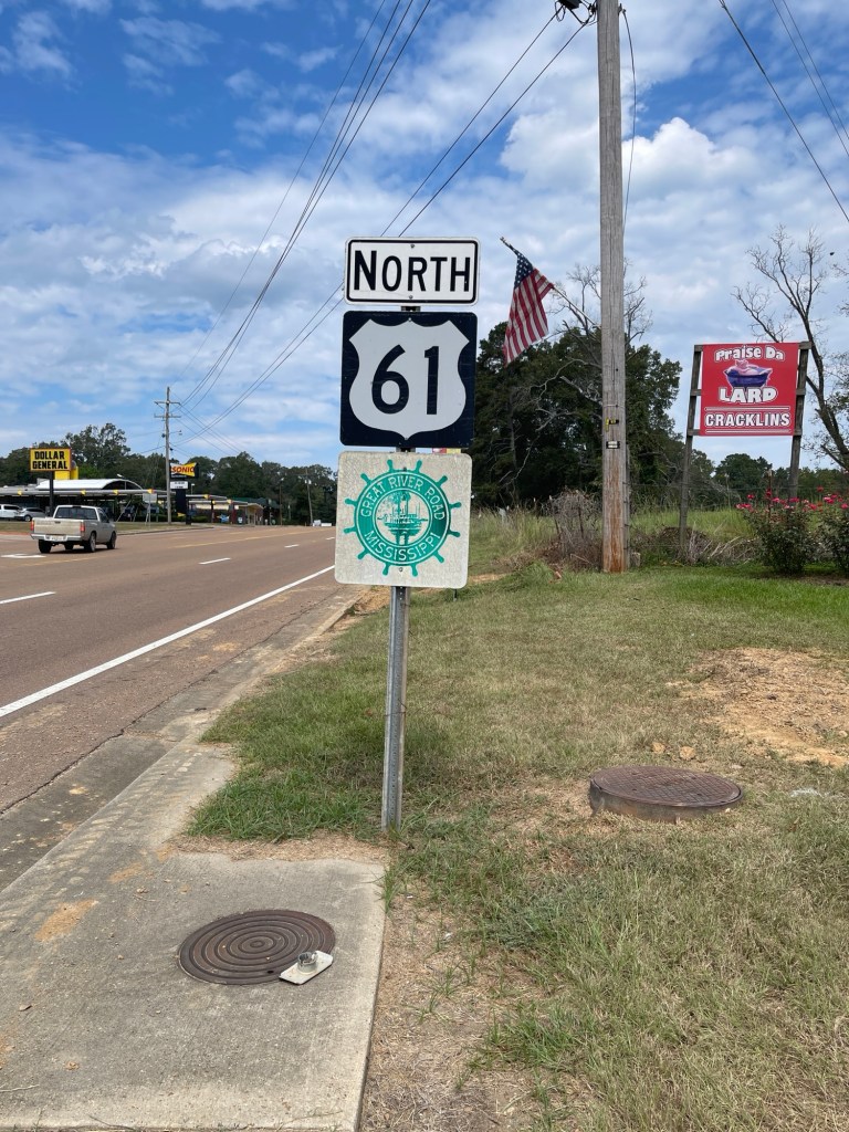
Therefore, I cheated a bit today. Once I crossed the river I instead got onto US-61 which is the bulk of the route anyway. So basically I just skipped all the curvy bits between NOLA and Baton Rouge. 61 is still a US highway so goes through towns and subject to stop lights etc. so I think was the right balance for today.
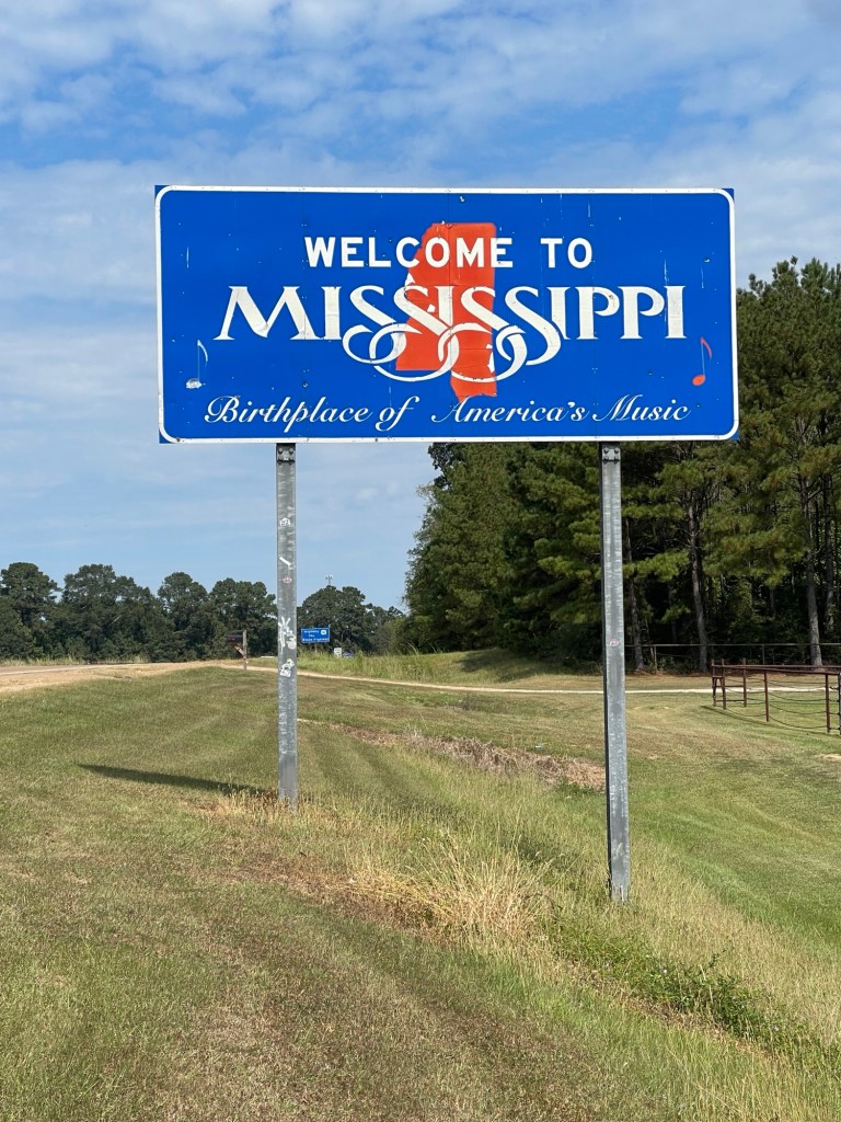
I made it to the Mississippi border just before noon and made it into Vicksburg about 2:15.
At the border Yes this is the right roadFirst one I’ve seen – and it’s closed 🤣
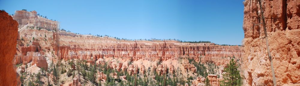
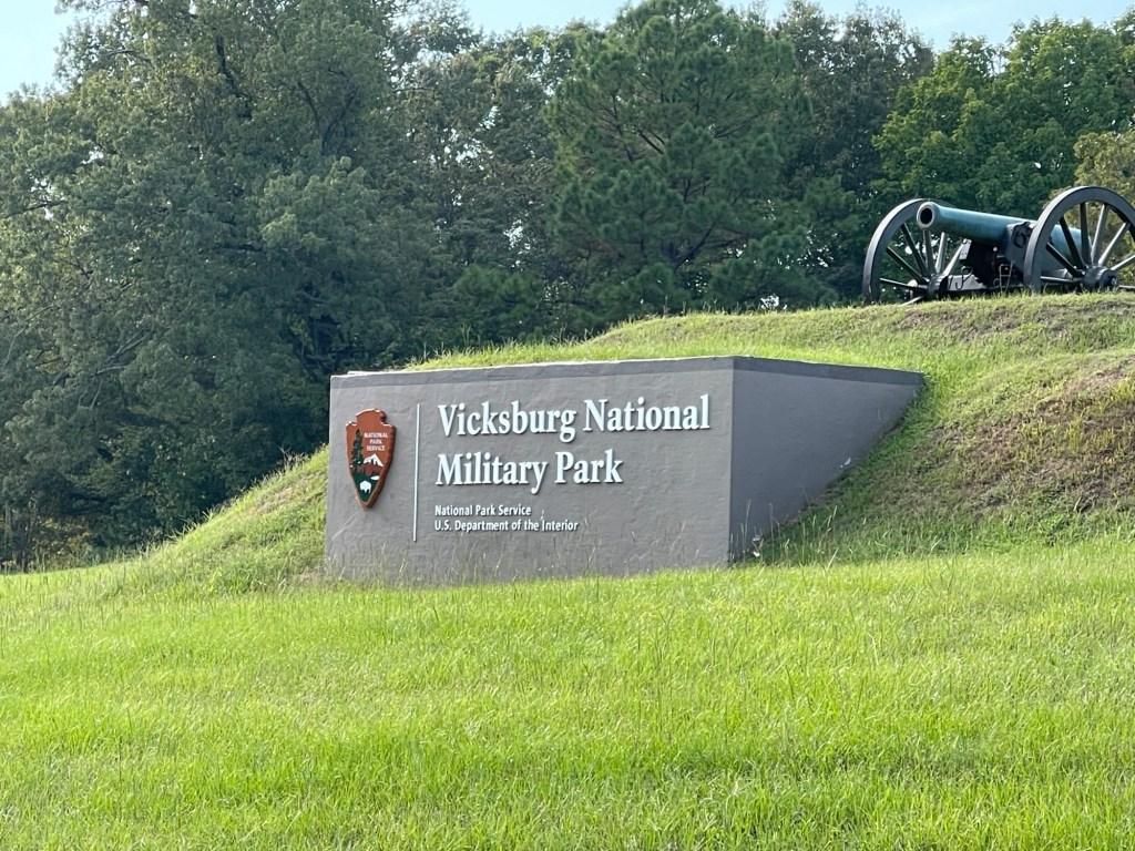
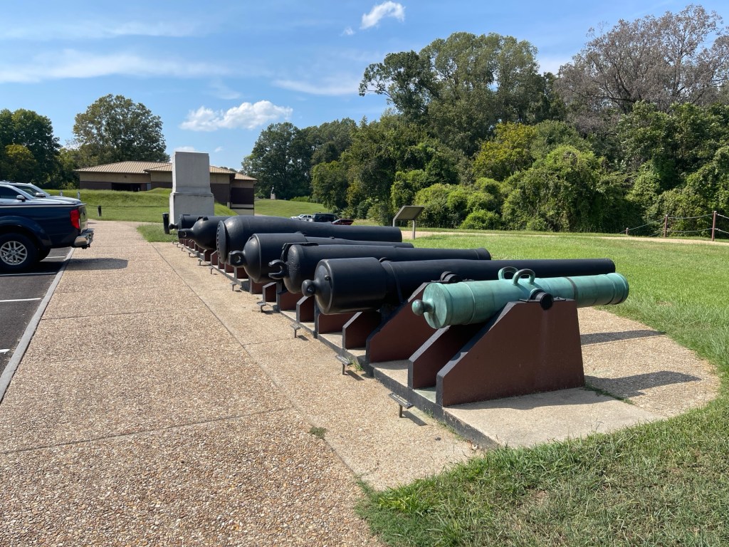
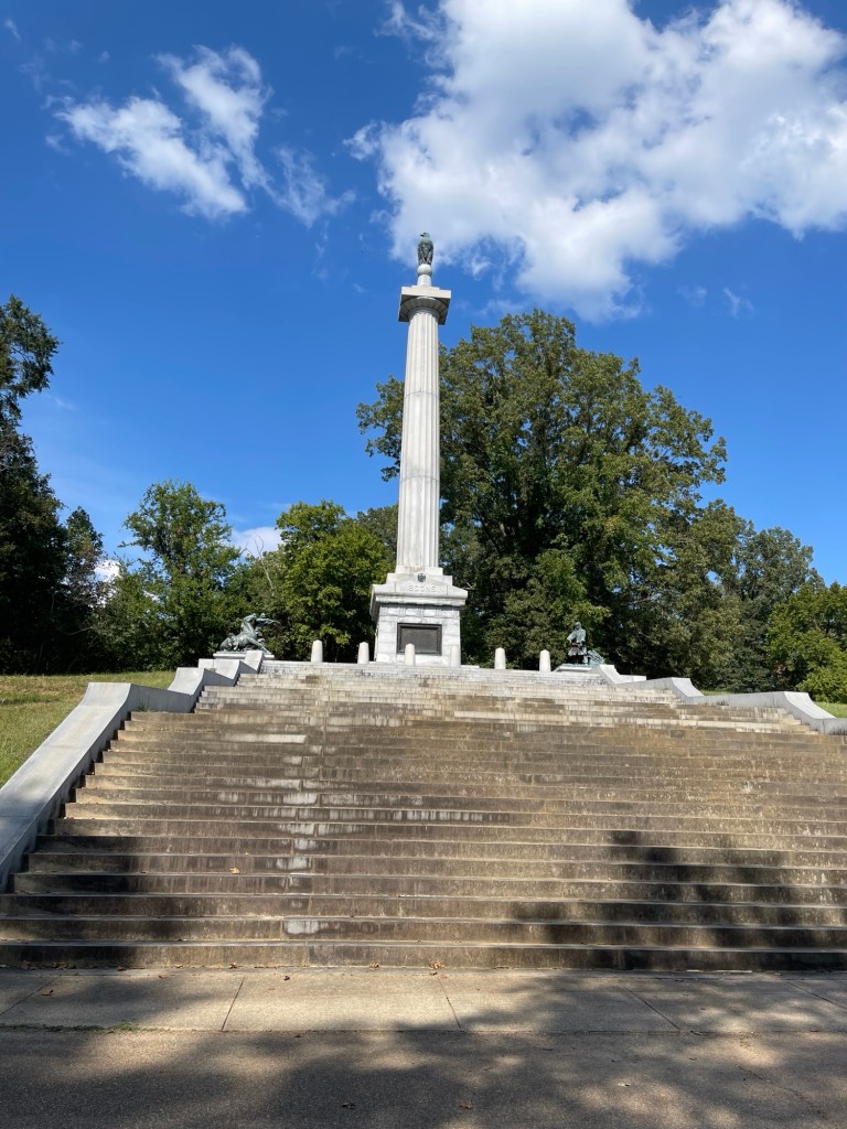
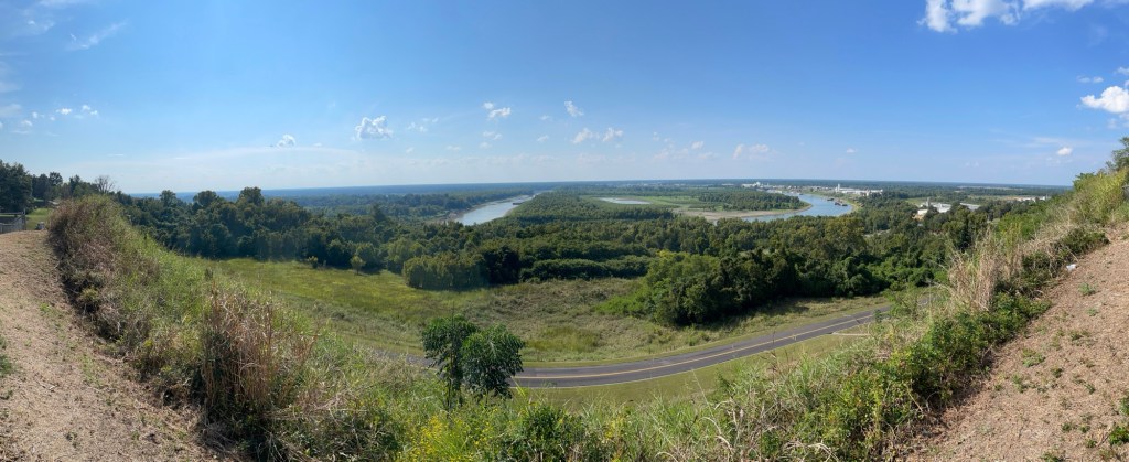
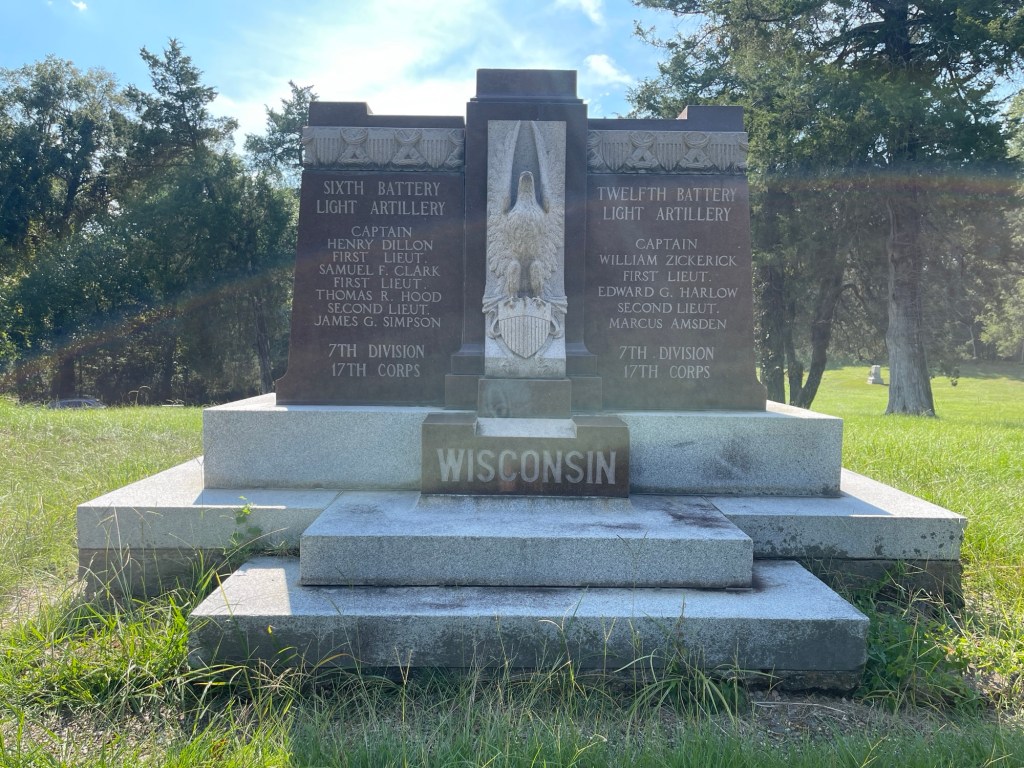
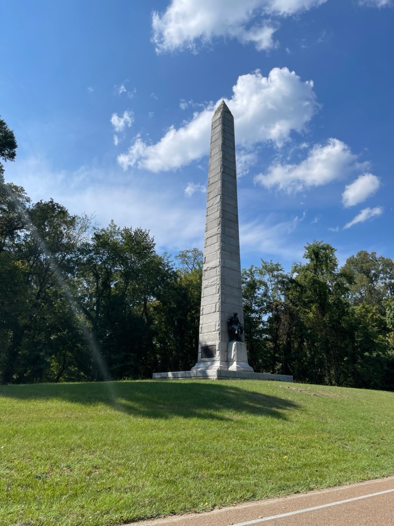
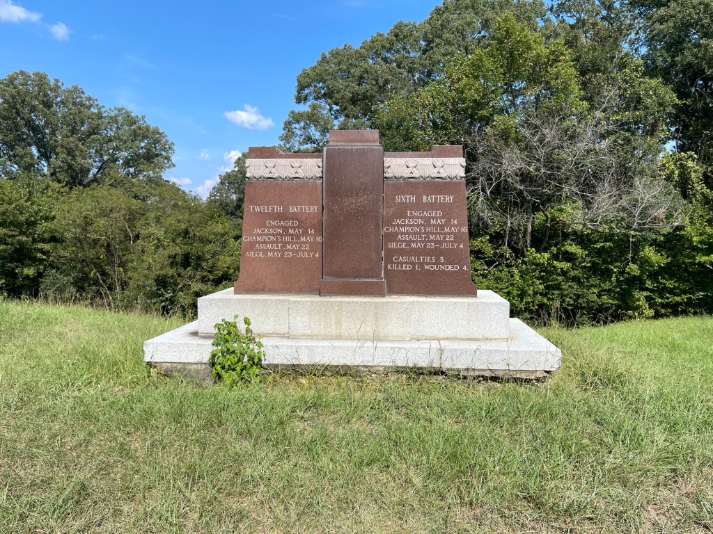
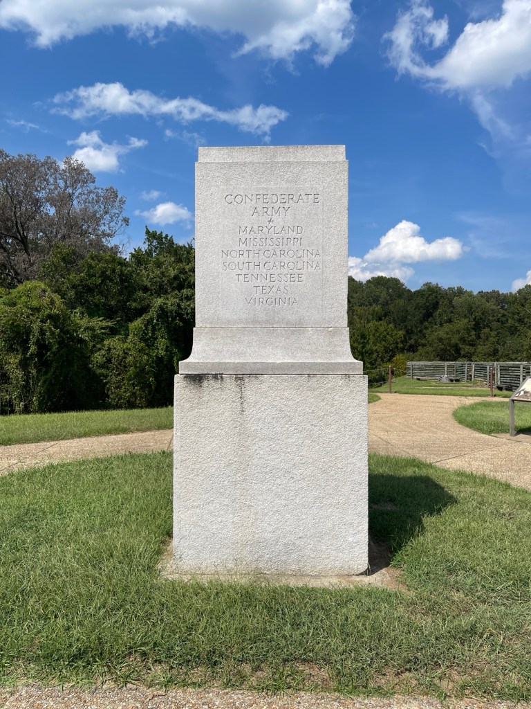
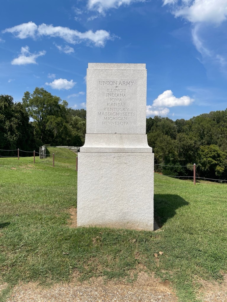
The reason I planned to stop here was to visit the National Military Park dedicated to the battle and siege of Vicksburg. You could certainly spend considerably more time here but a couple of hours was enough given the 90F plus temperatures. Was very interesting.
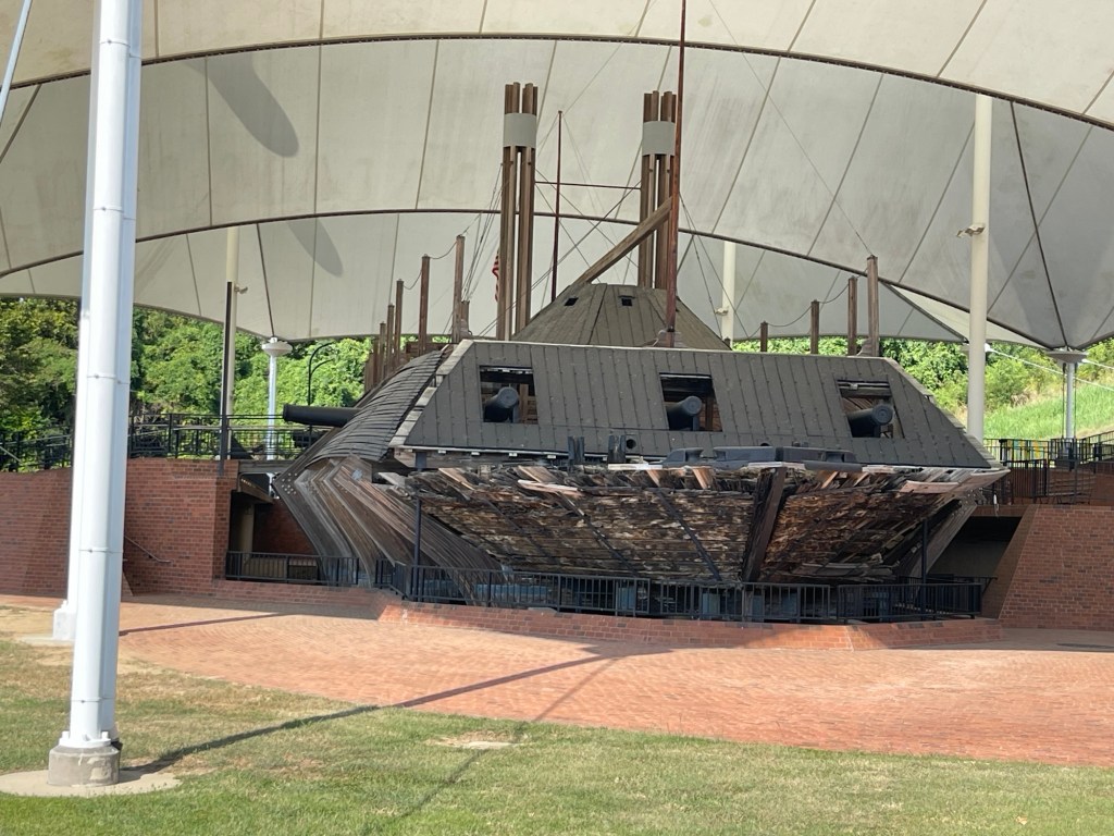
Additionally the park is home to the U.S.S Cairo an ironside that was sunk in 1862, found in 1956 and raised in the early 60s. Amazing to imagine living aboard one of those – I can only imagine how hot, humid, stuffy, and loud that must have been!
After that I checked into the hotel nearby and then headed to dinner. Had a seafood boil with shrimp, crab, potatoes, and corn. Delicious!
Plan for tomorrow is to reach somewhere in Tennessee but still need to review the route tonight.
Today marks the final leg to the end of the road, and near the end of the river. As it is the weekend, a didn’t get going too early today. After a quick breakfast, I got on the road about 9:40. Again I had reviewed the route and had a list of all the highways that I would be needing to look out for. Heading south out of Vidalia, the roads more or less follow the river and the roads are up along side of or in some cases almost on the levees. So while more or less flat they are nice and winding to keep things interesting.
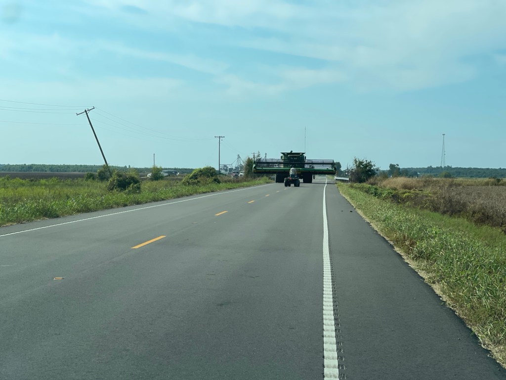
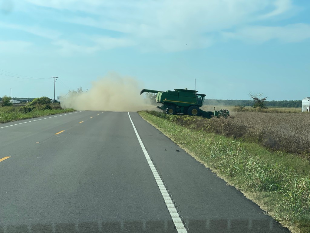
The cotton fields pretty much changed exclusively to sugar cane. Lots and lost of sugar cane. And the occasional other things that I could not identify. Case in point, at one point I had to let up on the gas as there was definitely something in the road ahead. Had to stop and let them turn into the field.
Otherwise it was just a slow winding trip around the levees. The list of roads held up well, except for two cases. One involved a sign associated with the Great River Road pointing down a highway that was not on my list. I took the turn and followed a few miles until it reach an intersection with dirt roads going in three directions and no clear sign – though I was pretty sure which way would be correct, I opted to backtrack and continue on my merry way. That worked and the signs returned.
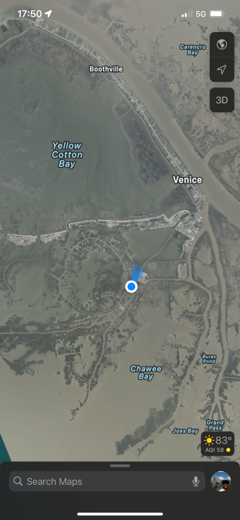
The other bad luck was a missed turn as I was entering New Orleans proper and instead of making the correct turn I took the next turn which ended up being a bridge across the river. Not exactly where I wanted to end up, but in any case I just had to recalculate and probably only added a half hour to my route before I got back on track. Once through the city it was the final stretch of about 70 miles down highway 23 to Venice, LA.
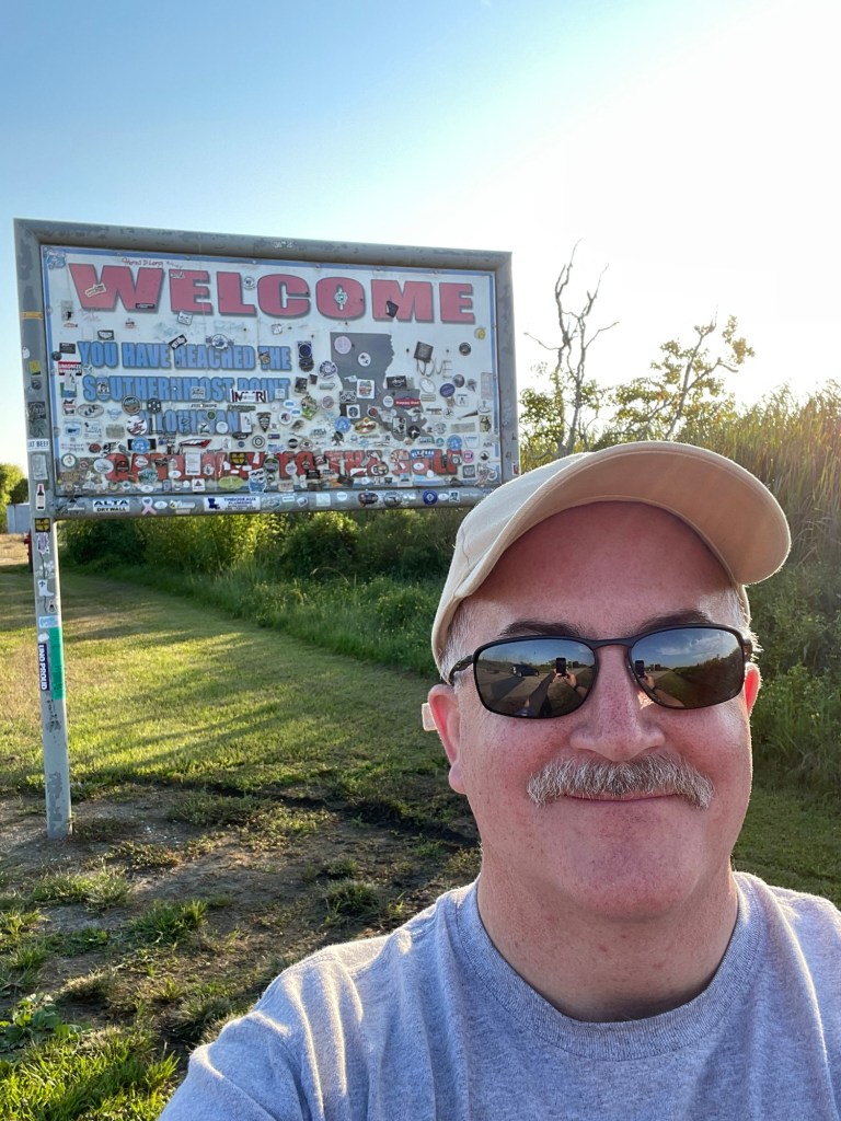
And then I was there, the end of the road. Seriously, this is it?
Southern most point.Woohoo!?Whole lotta water and a bit of dry land
In all honesty, I didn’t know what I was expecting. But it didn’t include a dumpster and miscellaneous equipment laying around. There is really just a whole lot of nothing once you get down here. Technically the highway 23 route ends a little early, and then you can drive a little further to reach this point. But they don’t even mark it as the start or end of the route so the whole thing is a bit anti-climactic. Maybe a little park or something with a view of the river, I don’t know. Anyway, this truly is a case where the journey is the destination.
I spotted a hotel just south of Belle Chasse on the way down and while stopped at the southern end, I booked a room there. Was about a 45 minute drive back and I got there right around 7pm. Been a long day on the road. Found a cajun\creole restaurant called Zyedeco’s just a few minutes up the road. Had their crabcakes and a side of jambalaya – yumm! Then back to the hotel and getting this writing finally up to date!
Crabcakes and jambalaya
Tomorrow the trek back north starts. Will be traveling up the east bank and tomorrow’s destination is Vicksburg, MS.
I had reviewed the route to Vidalia, LA last night and planned to get on the road about 9am which would put me there around 4pm. Went to have some breakfast around 8, back to the room about 8:30, pack up some stuff, showered, got dressed, finished packing, ready to go! Opened the door to pouring rain… Huh? Had not expected that! Looked at the phone, yup – big thunderstorm, flash flood warnings, rain for next 45 minutes. OK, guess I’ll do a little work stuff.
Two hours later, still raining. Time for checkout anyway, so packed up and loaded things into the car. Drove down to McDonalds and sat in the parking lot for about 45 minutes working on the past days blog entries. Finally stopped raining about noon. Ran inside for some lunch and then was finally on the road about 12:30.
The route from West Helene goes south into a big bend in the river and within this bend are a couple of bayous that run in parallel from north to south. It had rained a lot and there were flash flood warnings until 1:30pm so I was actually a bit nervous heading in this direction. But, the route is the route, so – onwards!
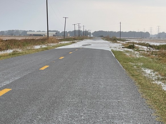
As mentioned, I had reviewed the routes so I knew which highways I was looking for and more or less the order. So as I headed south out of West Helene I was looking for state highway 418 which came up earlier than I expected so I actually missed the turn. Not a big deal, not much traffic, so it’s easy enough to pull a u-turn. Turned onto the road, and oh my, it’s narrow, and no shoulder. Hey, at least it’s paved and I mean it is a state highway. Oh look, there’s some standing water on the edges. OK, no big deal it’s not much. Always onward. Well, now it’s a bit on both sides, I’ll just scooch on down the middle, no problem. Onward…? Just take it slow. OK, what’s this? Well now, that seems kinda deep and all the way across and a bit long. Oh hell no! Reverse, 3-point turn, photo, and it’s back the way I came. Routes are only suggestions!
Nope, nope, noppity, nope! I will find another way.
Now, I probably could have made it through that stretch of water, but I just didn’t think it worth the risk and I had no idea if there would be even worse sections. As mentioned this was a bayou area so its inherently wet, low-lying land and it had rained a lot! After backtracking and checking the map it turns out that this highway 418 does a loop and I was actually supposed to pick it up further south, deeper into the bend of the river and I assume even lower-lying. So I’m pretty sure I made the right call. I back tracked and picked up the route on the other side of the bend in the river and stayed high and dry the entire way!
Ok, by dry, I only mean that I wasn’t dodging standing water on the roads. It did continue to rain off and on throughout most of the drive. But all in all it wasn’t too bad. Other than being kind of a boring drive with nothing much to see but cotton fields. I’ve now arrived in Louisiana for the first time ever!
First time in Louisiana!
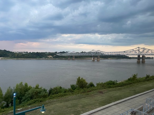
I arrived in Vidalia about 6:30 and had been considering camping here for the night as I had found a campground that was right on the river that looked pretty decent and while still hot, the nights had been cooling off decently so thought it would be a good option. Unfortunately when I pulled into the campground, I found that the office closed at 5pm and there weren’t any clear instructions on being able to self register. Oh well, I wasn’t that set on camping and there were a few hotels just up the road as well. So I checked into one and got a nice riverside view.
Natchez, MS across the river from Vidalia, LA
Reviews of the few local restaurants were less than stellar so I opted to just have dinner in the hotel restaurant. Pretty quiet there, one couple just finishing dinner and a couple people at the bar. Bartender and cook the only ones there. So I pulled up a chair at the bar as well. Bob, the bartender, handed me the menu and led with “there are no steaks, even if it’s on the menu”. Well, OK, good thing I wasn’t planning on a steak. I was looking at the catfish\shrimp combo platter. When I told Bob that’s what I wanted he winced and said, “ooh, sorry no shrimp tonight either”. You’re killing me Bob! OK, just the catfish then. Fortunately it was good – I had it blackened. Then it was back to the room and crashing for the night.
Tomorrow is the last leg, all the way down to the end of the river and road!