Rocky Mountain National Park – Wild Basin

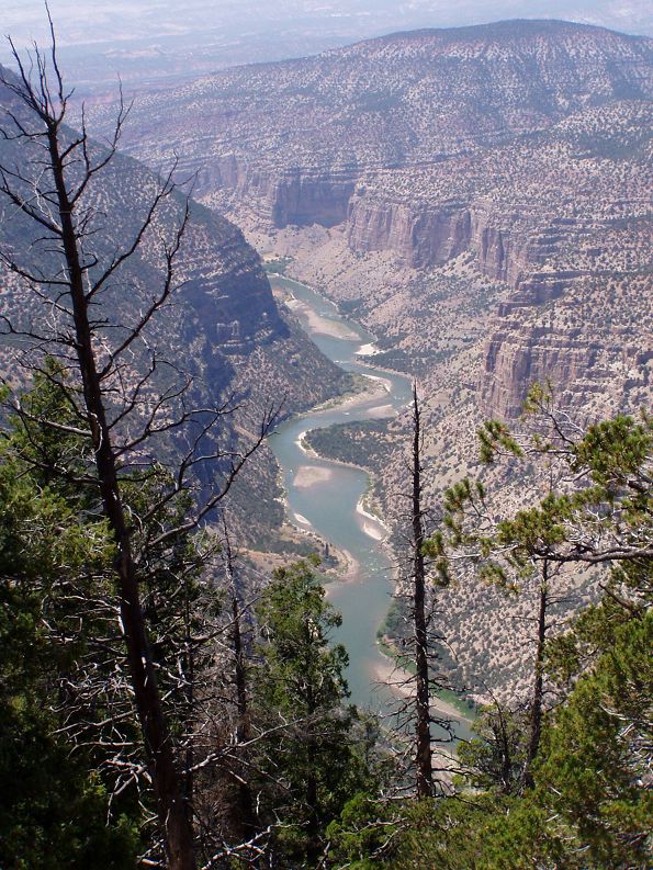
So I ended up “stuck” in Colorado over the weekend on a business trip.  Fortunately Saturday was beautiful and I was free.  Decided I’d head over to RMNP since it was less than an hour drive.

I know I should have checked the park website to see if there were any “conditions” to be aware of, but I got sidetracked on other things and never did…  Driving towards Estes Park there seemed to be a lot of traffic, but I figured “it’s just a Saturday morning and it’s beautiful”.  Then I saw the first sign indicating there might be an issue – something about only shuttle access into the park, uh-oh.

As I got closer, the traffic got even thicker and I saw another sign mentioning the shuttle.  Then I hit Estes Park and it was a mad house!  I turned around and headed back out of town and pulled over to do some investigation.  OK, there is a major construction project to renovate the main road through the park.  Only shuttle access between 9am-4pm.  Expect delays of up to 2 hours!  No thanks.  Checked the map and decided to head to the Longs Peak area about 10 miles south.

That’s when I discovered the real reason for the traffic and crowd in Estes Park – Scottish and Irish Festival days, apparently one of the biggest of it’s kind in the country.  Took me about another half hour to get thru town, but then I was finally free!  Got down to Long’s Peak but given it was already about 10:30 the parking area was filled and the road down the hill was fully lined with cars.  OK, plan C; a bit further south to the “Wild Basin Area”

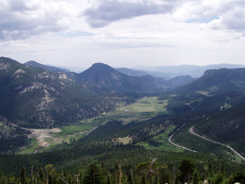
Finally, no major crowds and parking only about 3/4 mile from the trail head, this’ll work!  Finally got on the trail a little after 11 and made my way out to Ouzel Falls.  The destination was a bit underwhelming but the journey was worth it.  The day was clear and cool with a nice breeze – absolutely perfect for a stroll through the mountains!  On the way back to the car, I decided to take an alternate route based on the park map I had.  It looked only slightly further than the route I had gone in on.

DSC02258

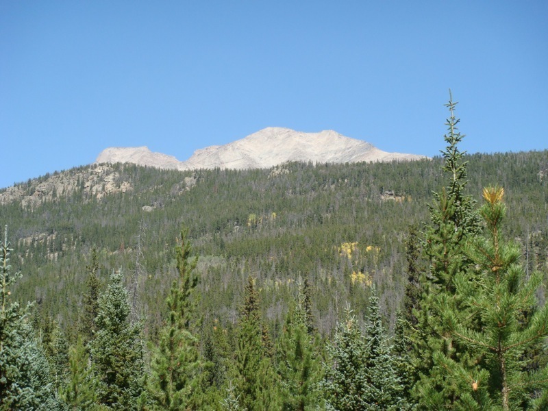
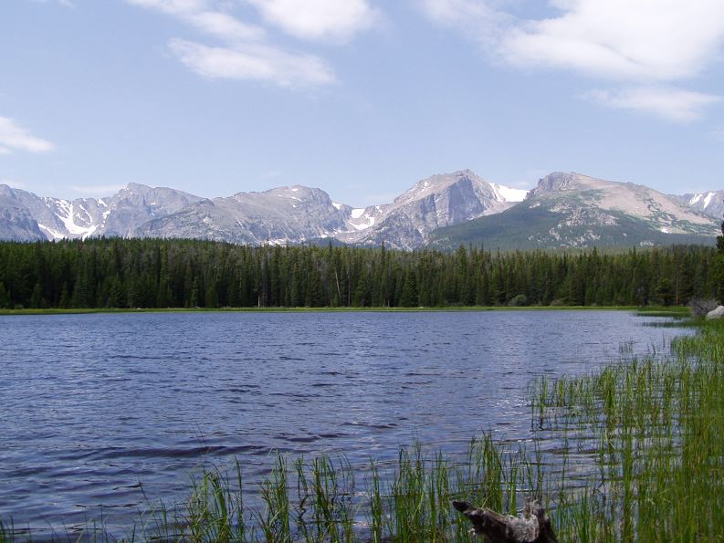
A topo map would have been helpful.  Turns out this route took me up the valley that I had come in on which was great for the views, but I wasn’t prepared to keep going up…  It was worth it in the end – or what I thought was the end.  I reached a distance marker at one point expecting it to be a bit less than a mile further to the car.  Turned out to be almost 2.5 miles!  Oh, well.  I finally made it back to the car around 5 and was beat!  Checked the map and plotted a course around Estes Park and was back to the hotel around 6.  Time to relax!

Days 3 & 4: To Moab and Arches National Park

Yesterday was spent driving from just west of Denver (Central City) to Moab, Utah.  The drive over I-70 was very nice, especially the Glenwood Canyon section which has got to be one of the true marvels of the interstate highway system.  The last time I took this route was on a trip to the Grand Canyon, 20 years ago, and it was at night so we didn’t get to see the amazing views.  I’m working on time-lapse videos of my trip and I’m hoping that these come out as well as I have envisioned – we’ll see…

Taking the advice of the campground staff in Denver I diverted from the GPS directions and instead took UT-128 off of I-70 down to Moab.  This route is rated as one of America’s scenic byways and it did not disappoint.  It follows the Colorado River through a series of canyons and the views are amazing!  On reaching Moab I made camp and just relaxed for the evening – after three days on the road, I was beat!

DSC_0132

This morning I headed into Arches National Park, which is less than 10 miles north of Moab.  I planned to see lots of arches – but didn’t see as many as I’d have liked.  The hike out to Delicate Arch – the picture above – was about a 2 hour round trip or 3 miles.  At least it was only uphill one direction;-)

After that the next stop on the route was Sand Dune and Broken Arches.  I saw Sand Dune, but after reaching what I thought would be Broken Arch – the sign said “Trail Continues thru Arch”.  So I continued on for about another half hour – and nothing, no signs, no people, just rocks and sand and cute little lizards.  Now it could have been right around the next bend, but I was hot and thirsty and tired, so I bailed and headed back to the car.

By this time it was about 3:30 and I’d had enough of the sun – according to my old fashioned thermometer I have with me it was at least 100 degrees.  So I headed back to camp, took a shower, and decided I wasn’t going to sit around camp and cook in the heat again (even if it is only 90 in Moab).  I had seen signs for the Moab Brewery and decided a cold hand-crafted brew sounded perfect.  I tried two, their IPA and Deraileur – both were great, along with a delicious Smoked salmon salad.  Then it was back to camp to do a little last minute research for tomorrow – Canyonlands National Park.

Days 1 & 2: From home to Nebraska and Colorado

So I was planning to leave home at 7am on Saturday – a little ambitious given that I had a few things to get ready.  8 o’clock would have been fine as well.  In any case as I was loading up – I never had a chance to fit-check everything – I realized that my telescope case takes up way too much space.  In the end, I ended up pulling the passenger seat as I did on my 2006 road trip.  Oh well, I was on the road at 9:30.

Programmed my GPS to take the shortest route – which is not the quickest as it literally takes the shortest mileage route.  This is actually kind of nice as you end up taking the smaller state highways and it’s a bit more scenic.  The downside is of course it’s slower – but the GPS showed only an hour difference, what the heck!  Well, there are also some issues with construction and detours…  That extra hour was turning into about two hours – given my late departure this was making for a long day.

Somewhere in southwestern MN just above the IA border I decided to go back to the fastest route.  This put me on I-29 down to Omaha and the I-76 over to Doniphan where I was spending the night.  Maybe not as scenic, but better none the less.  I got to my campground a little after 7pm.  Got setup, made dinner and crashed.

Sunday morning I was on the road again about 9:30 and arrived at my campground near Golden, CO a little after 4pm MT – another long day but at least I have the extra hour of sunlight to work with.  Speaking of, time to go make some dinner!

On to Utah tomorrow!

Day 7

I spent Saturday at Dinosaur National Monument, which straddles the Colorado/Utah border.  The landscape here is absolutely incredible.  I took tons of pictures and hope to get some posted later tonight.

Unfortunately, the main attraction at Dinosaur, an active fossil quarry, was closed indefinitely on July 12, due to safety issues.  Apparently the building that houses the quarry was built on an unstable area of ground and has had problems ever since it opened back in the 50’s.  They were conducting some sort of inspection and determined that it was simply not safe to operate at this time.  So, I was a bit bummed not being able to see that, but the scenic drives and hikes were worth coming here by themselves.  Simply amazing.

That took up pretty much the entire day – I got back to my campsite about 4:30 and after having been out in the 95 to 100 degree heat all day I couldn’t just sit at my campsite.  If I had some shade I maybe could have managed it, but without any shade it was simply unbearable.  So, I went to another movie “You, Me and Dupree”.  It was a so-so movie, but the AC was wonderful and by the time the movie let out, it was nice and cool again.

Day 6

I rolled out of my tent about 6:30 this morning.  It had sprinkled a little bit during the night and so I had to pack up my tent wet – that’s always fun.

Today was pretty uneventful, just driving from Estes Park, CO to Vernal, UT.  Tomorrow, I’m going to Dinosaur National Monument.  I stopped for a few pictures on my way out of Rocky Mountain NP, but the western side doesn’t offer quite as many nice mountain views, so I didn’t stop that often.

I thought driving across the Dakotas and Nebraska can be desolate, but that was until I drove through northwestern Colorado today.  Talk about empty apparently worthless land. The landscape is interesting, but there’s absolutely nothing between Steamboat Springs and the Utah border and that’s close to 200 miles.  There was one stretch of 57 between towns that even had gas stations.  There were a couple of little “towns” in between but they were little more than a couple of run down buildings and maybe a house.

I got to Verrnal, UT and it was a blistering 97 degrees.  I set the tent up and then couldn’t take it.  I grabbed a bite to eat in town and then went to see the movie “The Lady in the Water”.  It was another of those off the wall M. Night Shyamalan (sp?) movies.  All in all it was pretty good and when the movie was over it had cooled down quite nicely outside.  It’s now in the low 80s with a light breeze and the temp should drop into the 60s – perfect!

Day 5 – OK, so it can reaallly rain

I woke up to a cloud filled sky, so I just kind of hung around camp for awhile before I made up my mind to go.  I headed into the park planning to go on a fairly long hike, but as I got closer to the trailhead, the clouds never seemed to clear.

Rather than having to hike in the rain, I decided to drive the Trail Ridge Road up to the Alpine Visitor Center, which is at the midpoint of this road .  This is the same road I’ll be taking tomorrow on the way to Utah, so I figured I would save time by getting some of the photo stops in today.  The Alpine visitor center is situated at 11,796 feet above sea level which makes it the highest visitor center in the entire National Park System.

It was a nice cool morning, so I drove with the top down.  The temperature drops rapidly as you ascend so I had to put a sweatshirt on about halfway up.  I made a few stops along the way and took lots of pictures.  It was cloudy so the lighting wasn’t great, but I still got some good shots.

At the visitor center is a short hike up to a scenic viewpoint at just over 12,000 feet.  I hiked up there only to have the batteries in my camera run out – and wouldn’t you know this was the time I left everything in the car.  Oh well, I went back down to the visitor center, had some lunch, grabbed new batteries and headed back up.

As I was on my way back up, I noticed lots of rain cells over various peaks and one that appeared to be headed my direction.  I hustled up to the top, snapped a few pictures and got back down as fast as I could.  I couldn’t believe I was passing people going up – most with no rain gear whatsoever, and it was only about 55 degrees as well.

I made it into the visitor center just in time to miss the downpour and hail and luckily stayed dry.  I hung out there for about an hour waiting for the rain to let up and then listening to a ranger talk about lightning – very appropriate topic!  He also explained that the afternoon thunderstorms were more or less a daily occurrence during the summer due to the morning heating of the east and south faces of the mountains – now I find this out!

I made it back to my campsite about 3:30 and decided to take in a movie – Pirates of the Caribbean as I didn’t feel like hanging out at the campsite.  The movie was pretty good, I’ll definitely see the next one, just to know how things wrap up.  As I walked out of the movie there was a huge thunderstorm blowing through, so I hung out in the lobby for about a half hour waiting for it to let up – no sense going back to the campsite just yet.  Afterwards, there was a tremendous double rainbow that I snapped a couple of pictures of.  An for about a half hour after the rain stopped, the clouds were making all sorts of spectacular patterns in the sky, got some pictures of those too.

The good news is that through all the rain today, my tent stayed nice and dry – OK there were a few drops that managed to sneak through but they wiped up easily.  I’m looking forward to the next couple of days as I’ll be out on the basin and range area of Colorado, Utah and Nevada which are arid regions.  So I should stay dry at least until I reach Yosemite.