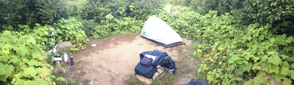
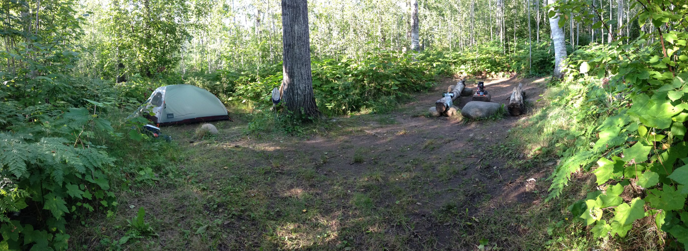
Day 6 began relatively early since I didn’t really have to deal with breaking camp – just had to get my sleeping padbag and cooking gear into my pack. Most importantly, Rock Harbor campground also has shelters and I wanted to secure one of those to again save time tomorrow morning since I had to be ready to board the boat at 8 am. I was on the trail at 7:30.
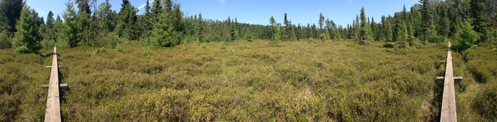
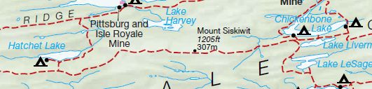
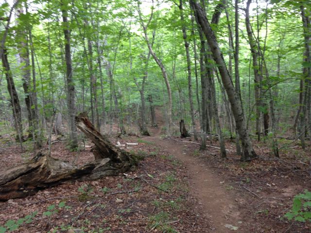
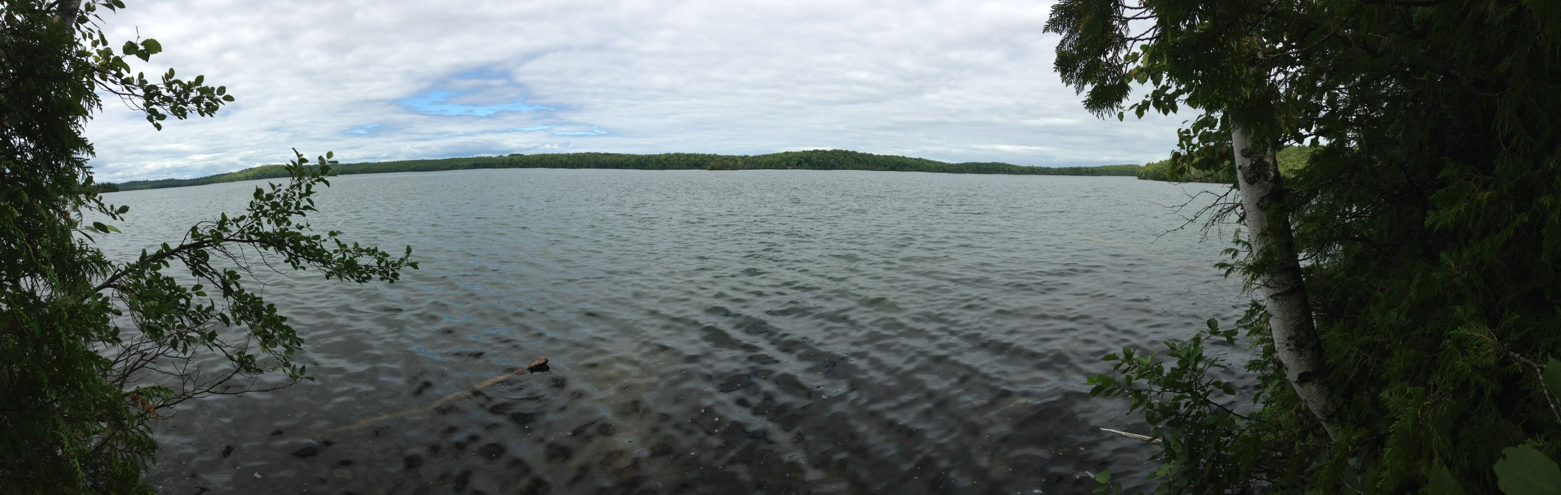
It’s seven miles from Daisy Farm to Rock Harbor and is almost entirely along the lakeshore. There was a nice cool breeze blowing off the lake which was the perfect counter to the sunshine on my face. Absolutely beautiful morning. The first 4.2 miles going in this direction are virtually level and features some nice smooth areas and lots of boardwalks over boggy areas where streams are entering the lake. I covered this in just over two hours and was feeling great as I walked into Three Mile Campground which is, as you might guess, 3 miles from Rock Harbor.

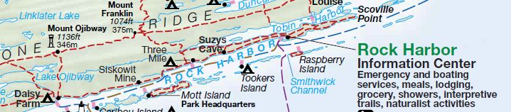
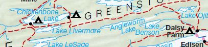
from Daisy Farm

to Rock Harbor
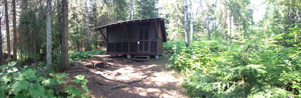
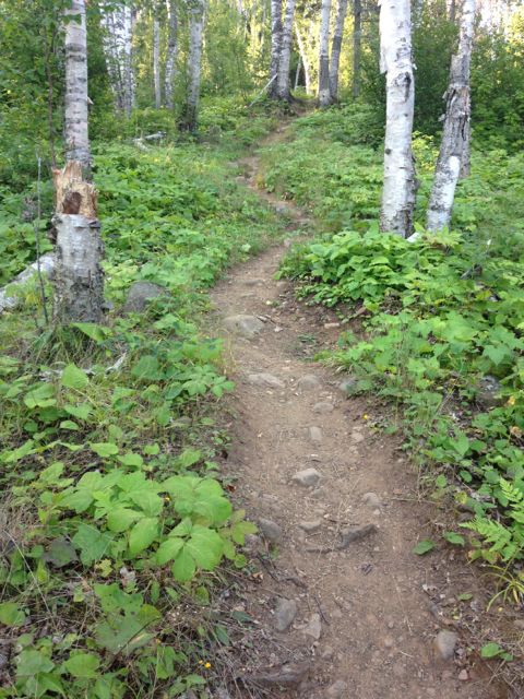
Given this pace, I decided that I wouldn’t worry about my mid-morning stop that I had usually done or even lunch. I figured at this pace I should only be about an hour and a half from Rock Harbor. I was wrong. Unlike the previous four virtually flat miles, the last three miles are up and down over a rocky areas of cliffs. Nothing very high or very steep mind you, but just constantly up and down. The pack hadn’t been lightened enough to make this pleasant. I wandered into the campground at 11:50 so it had taken me about two and a half hours to cover the last three miles. In any case, mileage wise at 7.2 miles it was an average day but I covered it in the shortest amount of time, just four hours and twenty minutes which felt pretty good. More importantly I was able to secure what appeared to be the last available shelter, phew!
Whereas Daisy Farm was the Holiday Inn, this must be the Ritz! Showers, flush toilets, potable water, convenience store and a restaurant – almost back to the real world! There is actually a lodge here at Rock Harbor as well but I didn’t stay there since as with most lodges inside National Parks the rates are outrageous. After dropping the back in my shelter, having some lunch and resting for a few minutes the most important goal was a shower. Unfortunately, the hot water was lacking, but even the cold running water and soap felt good at this point! Got my clean clothes on and then took a walk around Snug Harbor then back to my shelter for a nap.

SS America Lifeboat

Snug Harbor

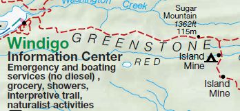
Rock Harbor

Voyageur II
I also had to finally clear up the time zone issue so that I was certain to be on time for the boat in the morning. Turns out its a pretty common question. The park is indeed on Eastern Time however the boat operates out of Grand Portage in Minnesota and in fact stays on Central Time. Therefore the boat departs at 9am ET8am CT. Glad to have that cleared up!
The restaurant opened for dinner at 5 o’clock and I was one of the first people in the door. Even though I had a meal in my pack I was ready for some real cooked food. Had a nice dinner of Lake Trout, wild rice, asparagus and a beer! Delicious! Already picked out what I was having for breakfast as well – enough oatmeal for the week, I’ll be back here for breakfast.
Being at the visitor center also meant I could attend the evening Ranger presentation at 7:30 (ET). This evening however was actually a presentation from the last of the season’s Artist in Residence program. Some of the National Parks offer this program that invites artists to visit the parks for 1-2 weeks to explore whatever art form they work in and relate it to the park.
There were two photographers at the moment, both from New York. The first, whose name I can’t recall (Russell something), was primarily working with infra-red photography which I’m not really a big fan of. He showed us some of his previous work which mainly involves how people interact with landscapes. In any case, for his work at Isle Royale he went a bit abstract. Since he didn’t expect to see any wolves he decided to cut out life sized silhouettes of wolves in felt. He then laid these out on the ground or in bushes, intending to show the absence of wolves. May have been a good concept but didn’t really work. He did also take some photos of the landscape in some of the buildings in the park and those actually worked quite well.
It was the second artist that really engaged the full house in the auditorium – I also had a chance to talk with him briefly before the presentation as I was early. He is John Isaac(not his given name) and is now a landscapewildlife photographer. He is originally from India and came to the U.S. to attend college. He became a UN photographer and did that for nearly 30 years, covering all of the war torn areas of the world during the 70s, 80s, and early 90s. He had a breakdown after covering the genocide in Rwanda and contemplated suicide before discovering wildlife photography. Showed us a lot of his work over this time. He was also focussing on more abstract photography here at Isle Royale and showed us a few of those – mainly the colors and formation of the lichen that is on the rocks all over the island, along with some general landscape stuff. After leaving Isle Royale, he was heading to Borneo to photograph orangutans. Truly a remarkable guy!
After that it was back to the shelter for my last night on Isle Royale.

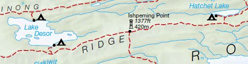
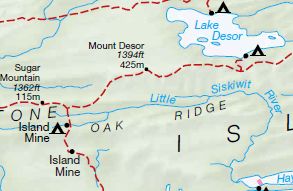
Day 6 route: Daisy Farm to Rock Harbor